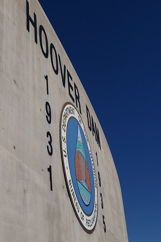
In 2002, I have spend some 2 visit to Hoover Dam in Nevada.
I am told that most of the water in Southern California are supplied by Colorado river & Hoover Dam.
The water level in the dam is lower each year. These create a serious concern about the ever increasin drinking water price in Southern California.
Well, if we are not taking step to preserve the water supply & plant more trees, we would be facing our own destructions for not having enough water supply!!
Monday, December 05, 2005
Hoover Dam
Subscribe to:
Post Comments (Atom)


1 comment:
The goals for all of the states (and Mexico) that share the Colorado River, are many. They all wish to store and use the riverwater as completely as possible. Irrigation of crops takes 90% of the water. The other 10% is for personal use.
Conservation efforts have helped lower the Las Vegas use, despite population increases (170,000 people in the past year, water usage is down by 65,000 acre-feet)
Note: 1 cu ft = 7.48 gallons, 43,560 sq ft = 1 acre, 1 acre-ft = 325,829 gallons
When the spring waters fill the river this year (go to the USGS link on river levels or the NOAA link on snow pack) due to the current snow pack being above average, as it was last year (following five years of a record drought), will everyone continue to claim the sky is falling? Conservation of the river water is planned by each state and local community, for the next twenty years.
www.usgs.gov (US Geological Survey)
www.usgs.gov/nwis/rt (USA River Tables)
http://waterdata.usgs.gov/nwis/current/?type=lake&group_key=state (Lists USA Lakes & Reservoir Levels)
www.watermonitor.gov
www.usbr.gov/main/water (US Bureau of Reclamation)
ftp://ftp.wcc.nrcs.usda.gov/data/snow/update/colorado.txt (Gives you a list of the Watersheds and Current Snowfall or Rain)
http://www.cbrfc.noaa.gov/snow/snow.cgi (National Oceanic and Atmospheric Administration - National Weather Service Page Showing Snowpack on Lower Colorado River)
http://www.usbr.gov/lc/region/g4000/weekly.pdf (Quick Summary PDF of River Levels on Lower Colorado River)
http://www.usbr.gov/lc/region/g4000/hourly/mead-elv.html (Historic Lake Mead Levels, Table Format)
These links will help you better understand that engineers and operators control valuable resources like rivers, reservoirs, dams and powerplants for the betterment of society, and in a way that is viewable by all. Government officials are proactive on this issue. Don't despair.
Post a Comment